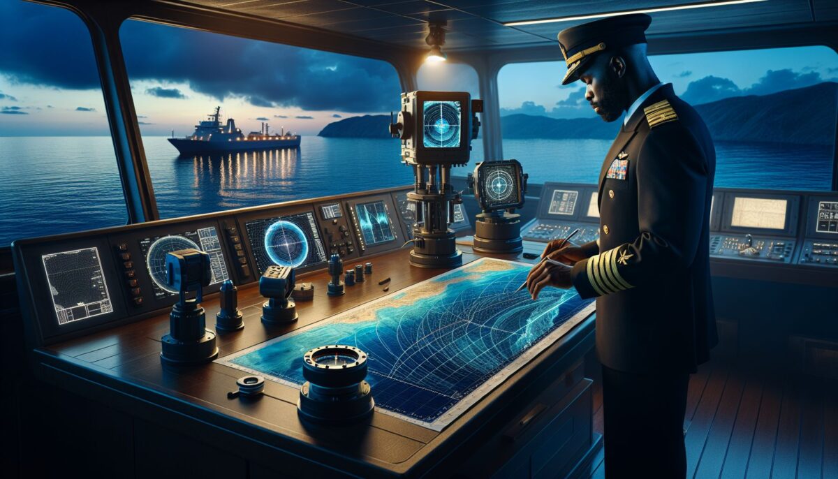
Maritime activities encompass a broad range of human endeavors, from shipping and trade to scientific exploration and environmental conservation. At the heart of these activities lies an ancient but ever-evolving science: hydrography. Hydrography, the study of physical features of bodies of water and the land areas adjacent to them, is a crucial discipline that supports safe navigation, aids in managing marine resources, and plays a pivotal role in understanding global climate systems. In this article, we will delve into the world of hydrography, examining its significance, the technologies involved, and the challenges it faces in the modern era.
What is Hydrography?
Hydrography is the science that measures and describes the physical features of bodies of water and their littoral land areas. It involves the acquisition of data pertaining to the depths, tides, currents, and physical aspects of the seafloor and coastlines. The main purposes of hydrography are to ensure safe navigation, to support maritime trade, to contribute to the sustainable development of marine and coastal environments, and to provide data for defense and scientific research.
The History and Oldest Profession
Hydrography is often referred to as one of the world’s oldest professions. Early seafaring civilizations understood the importance of charting the seas for safe passage. The ancient Phoenicians, Greeks, and Polynesians laid the groundwork for modern hydrographic science by creating primitive charts and understanding the basics of tides and currents.[^1]
Why is Hydrography Important?
Maritime Safety
One of the hydrographer’s primary roles is to ensure that mariners can navigate safely. Accurate hydrographic data is crucial to maritime safety, preventing groundings and collisions by providing detailed information about water depths, hazards, and other navigational features.
Maritime and Trade Efficiency
Hydrography also maximizes the efficiency of maritime trade by allowing vessels to carry optimal cargo loads without risking groundings. Ships rely on the latest depth information to navigate through straits, canals, and ports with the confidence that they can do so safely.
Environmental Protection and Resource Management
Marine resource management, including fisheries and aquaculture, depends heavily on hydrographic data. Understanding the topography of the seafloor helps in accurately assessing fish stocks and habitats. Moreover, hydrographic surveys provide essential baseline data to monitor environmental changes such as sea level rise and coastal erosion.
Modern Hydrographic Technologies
Multibeam Echosounders
One of the primary tools in modern hydrography is the multibeam echosounder, which employs multiple sound beams to map the seafloor with high precision. These sophisticated instruments allow for comprehensive seabed coverage and are instrumental in producing detailed bathymetric charts.
Satellite Altimetry
Satellite altimetry uses satellite measurements to determine sea surface heights, which can then be translated into depth data when combined with gravitational models. This technology has expanded the scope of hydrography, allowing coverage of vast, open-ocean areas relatively quickly.
Autonomous and Remotely Operated Vehicles (AUVs and ROVs)
AUVs and ROVs are unmanned vehicles equipped with sensors and cameras. They can be deployed to map and explore areas that might be too deep or dangerous for manned vessels.
LIDAR (Light Detection and Ranging)
LIDAR uses light in the form of pulsed lasers to measure ranges (variable distances) to the Earth. LIDAR technology is particularly useful for mapping the coastline and shallow waters where traditional shipborne sensors might not be effective.
Challenges Facing Hydrography
Despite its importance, hydrography faces various challenges including funding constraints, technological limitations, and environmental concerns.
Funding and Resources
Comprehensive hydrographic surveys can be costly and time-consuming. Many nations struggle to allocate sufficient funds and resources to maintain updated charts and data sets.
Technological Limitations
While technology has advanced, there remain limitations. Deep-sea and polar regions pose significant challenges to hydrographers due to extreme depths, ice cover, and harsh environmental conditions.
Climate Change and Environmental Impact
Climate change is altering sea levels, temperatures, and weather patterns, making the hydrographer’s task more complex. Additionally, hydrographic activities must be conducted in environmentally sensitive ways to minimize impact on marine life and ecosystems.
Moving Forward
International Cooperation
International organizations, such as the International Hydrographic Organization (IHO), promote global cooperation in hydrography to ensure consistent standards and the sharing of data.
Sustainable Development
Hydrography is integral to the United Nations’ Sustainable Development Goal 14, which aims to conserve and sustainably use the oceans, seas, and marine resources.[^2]
Public Education
Educating the public about the importance of hydrography can secure more consistent funding and interest in maintaining our oceans and streams for future generations.
Conclusion
Hydrography lies at the intersection of science, technology, and maritime activities. As maritime trade continues to grow and the need for accurate marine data becomes more pressing in light of environmental challenges, the role of hydrography is more important than ever. Ensuring safe navigation, promoting efficient maritime trade, and safeguarding marine environments are just a few of the critical tasks that rest upon the shoulders of hydrographers worldwide.
[^1]: “The History of Hydrography”. The Hydrographic Society of America. https://www.thsoa.org/HISTORY-OF-HYDROGRAPHY
[^2]: “Goal 14: Conserve and sustainably use the oceans, seas and marine resources.” United Nations Sustainable Development. https://www.un.org/sustainabledevelopment/oceans/
In today’s rapidly changing world, the importance of hydrography cannot be overstated. Our oceans are not just conduits for trade and commerce but are also delicate ecosystems that need to be understood and protected. By embracing innovation and fostering international collaboration, we can ensure that hydrography remains a beacon of safety, knowledge, and environmental stewardship amidst the vast and ever-changing seas.
