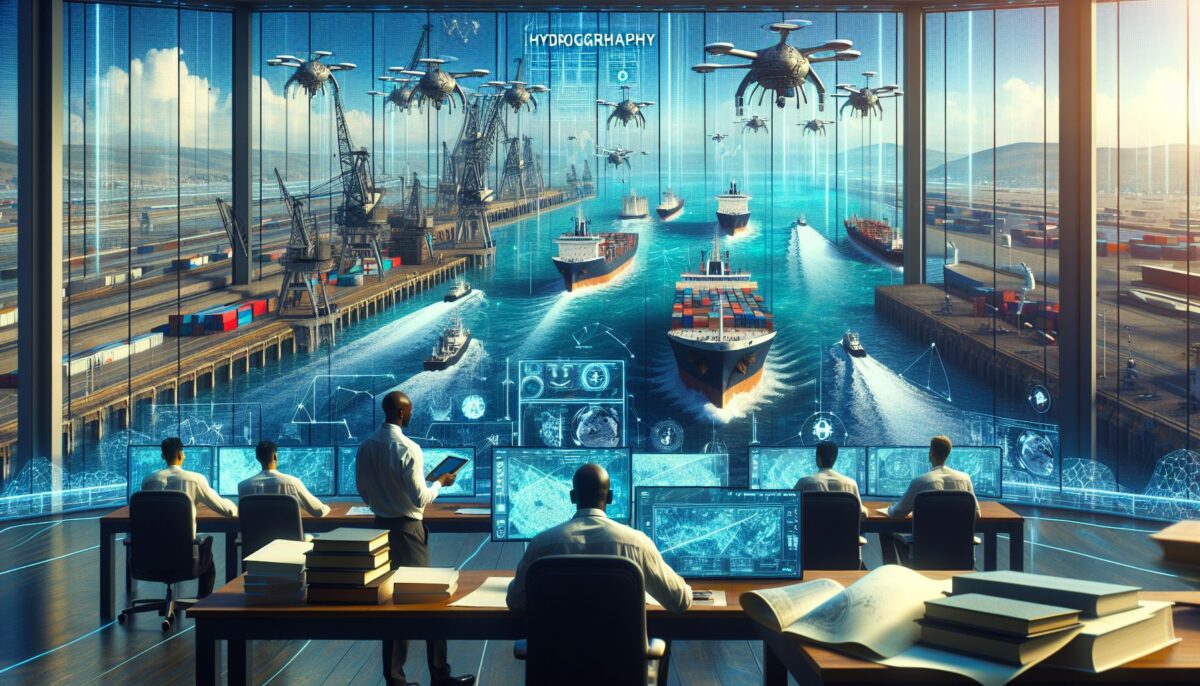
Maritime trade is the lifeblood of the global economy, with over 90% of the world’s trade carried by sea. From the food we eat to the clothes we wear and the technology we depend on, much of it has traveled across oceans. But ensuring safe and efficient sea navigation and transport is a mammoth task that relies heavily on a lesser-known yet crucial science—hydrography. In this article, I will delve into what hydrography is, its role in maritime trade and navigation, the challenges it addresses in the realm of shipping and port management, and its significance in preserving the marine environment.
What is Hydrography?
Hydrography is the science of surveying and charting bodies of water. It involves measuring and describing the physical features of oceans, seas, and coastal areas to create nautical charts and maps that guide maritime navigation. Beyond that, hydrography also entails the prediction of tides and currents, the study of seabed composition, and the distribution of sea life.
Maritime trade and navigational safety are dependent on accurate hydrographic data, which enables ships to navigate safely while minimizing the risk of running aground or colliding with submerged hazards. Let’s explore how hydrography impacts various aspects of maritime operations.
Hydrography and Maritime Trade
In a rapidly globalizing economy, efficiency in maritime trade is paramount. Efficient routes save time and fuel, which translates not only to economic savings but also to reduced environmental impact. Hydrographic information enables shipmasters and navigators to determine the safest and most efficient shipping routes, taking into account the following factors:
1. Underwater Topography and Safe Passage
The seafloor is filled with features such as ridges, valleys, and mountains that mirror those on land. Hydrography provides critical information about these underwater landscapes, ensuring vessels can avoid dangerous areas and utilize deepwater routes effectively.
2. Tides and Currents
Understanding the effects of tides and currents is essential for entering and leaving ports as well as traversing narrow straits. Hydrographic data informs the timings of such operations, often making the difference between a safe journey and a potential maritime disaster.
3. Port and Harbor Management
Ports and harbors are central to maritime trade. Hydrographic surveys facilitate the design, construction, and maintenance of ports and harbors, contributing to improvements in efficiency and safety for cargo operations.
4. Shipping Efficiency and Fuel Consumption
The shortest distance between two ports may not always be the safest or the most fuel-efficient. Hydrographic data helps to identify routes that avoid heavy weather, reduce fuel consumption, and minimize greenhouse gas emissions.
Navigational Safety and Challenges
The importance of navigational safety cannot be overstated. The maritime industry faces numerous challenges where hydrography plays a critical intervention role:
1. Collision Avoidance
Ships need to be aware of navigational hazards such as sunken ships, reefs, or icebergs. Hydrographic surveys identify such hazards and are integral to updating navigational charts used by mariners worldwide.
2. Search and Rescue Operations
When disaster strikes at sea, hydrographic data support search and rescue efforts by providing precise information on water depths and underwater hazards, enabling responders to navigate rescue vessels safely.
3. Underwater Infrastructure
Submarine cables and pipelines are essential components of global communication and energy networks. Hydrography ensures their precise placement and ongoing protection.
4. Iceberg Tracking
In polar regions, icebergs pose a significant risk to shipping. Hydrographic techniques such as aerial surveys and satellite imagery help monitor iceberg movements to alert ships to potential dangers.
Hydrography’s Role in Environmental Preservation
Hydrography also plays a critical role in environmental conservation efforts:
1. Marine Protected Areas
Identifying and monitoring Marine Protected Areas (MPAs) require accurate hydrographic surveys. These areas are critical for preserving marine biodiversity and require precise boundary delineation to enforce protective regulations.
2. Understanding Marine Habitats
Hydrographic surveys help scientists understand the topography and nature of different marine habitats, which is important for the protection of endangered species and ecosystems.
3. Oil Spill Response
In the event of an oil spill, hydrographic data is used to predict the spread of oil, informing cleanup operations and minimizing environmental impact.
4. Climate Change Studies
Hydrographic surveys contribute to our knowledge of rising sea levels and ocean acidification, critical factors in climate change research.
The Future of Hydrography
With advancements in technology, hydrography continues to evolve:
1. Autonomous Underwater Vehicles (AUVs)
AUVs allow for more detailed and cost-effective seabed mapping, increasing the frequency and accuracy of hydrographic data.
2. Satellite-Derived Bathymetry
Satellites can now be used to derive bathymetric (depth) data in certain conditions, revolutionizing the way we map the oceans.
3. Big Data and Machine Learning
The future of hydrography lies in leveraging big data analytics and machine learning to improve predictive modelling of oceanographic features such as currents and tides.
4. International Collaboration
Organizations such as the International Hydrographic Organization (IHO) facilitate collaboration among countries to standardize hydrographic practices and disseminate vital information for global maritime safety.
Conclusion
Hydrography is an invisible force that underpins maritime trade and navigation yet plays a visible role in ensuring the smooth flow of commerce and the protection of our marine environments. From guiding the largest container ships to aiding in oceanic research, the accurate and detailed information provided by hydrographic surveys is indispensable.
As technology advances and the world’s reliance on maritime trade continues to grow, the importance of hydrography will only increase. The challenge lies in maintaining high standards of data accuracy and accessibility while fostering international collaboration to address the ever-evolving demands of global maritime dynamics.
Sources
- International Hydrographic Organization (IHO) – iho.int
- National Ocean Service, NOAA – oceanservice.noaa.gov
- The Nippon Foundation-GEBCO Seabed 2030 Project – seabed2030.gebco.net
(The above article is a crafted representation of a long-form blog post on hydrography, bringing together an understanding of its importance in maritime trade, navigation, and environmental conservation.)
