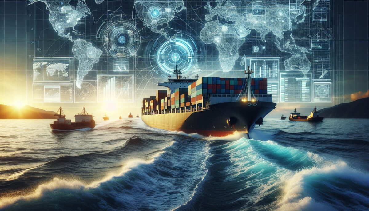
The ocean is a vast expanse that covers more than 70% of the Earth’s surface. It is a key component of the global ecosystem and plays an integral role in shaping climate patterns, supporting marine life, and enabling human activities such as fishing, tourism, and importantly, shipping. Amid this context, understanding the importance of hydrography and its relationship with maritime trade and navigation becomes essential.
What is Hydrography?
Hydrography is the science that measures and describes the physical features of bodies of water and the adjacent land areas. It involves the surveying and mapping of marine environments, including the seafloor, coastal areas, estuaries, and bays. With accurate hydrographic data, ship captains can navigate safely, maritime trade can operate efficiently, and countries can establish legal Maritime Boundaries based on the United Nations Convention on the Law of the Sea (UNCLOS).
The applications of hydrography, however, go beyond just providing safe passage for vessels; it also aids in the development of marine resources, construction of ports and harbors, coastal management, environmental protection, and military operations.
The Significance of Hydrographic Surveys
Hydrographic surveys are conducted using a variety of tools and technologies, such as echo sounders, sonar, satellite imagery, and LiDAR (Light Detection and Ranging). These technologies map the morphology of the ocean floor and help identify underwater hazards such as wrecks, reefs, and shoals that could pose a threat to navigation.
Bathymetric Charts: The Navigator’s Map
The primary product of hydrographic surveys is the nautical chart, also known as the bathymetric chart, which depicts the topography of the seafloor. Bathymetric charts are invaluable to mariners, providing critical information about water depths, the location of navigational aids (like buoys and lighthouses), underwater features, and the position of the coastline.
Maritime Trade: A Beneficiary of Hydrography
Maritime trade relies on ocean routes that are both cost-efficient and safe. Here, hydrography plays a pivotal role by enabling the optimization of shipping routes. Shorter and safer routes reduce transit times, save fuel, and minimize the risk of maritime accidents – factors that collectively contribute to more sustainable and economically viable shipping operations.
The Role of Hydrography in Port Construction
Port construction and maintenance are also heavily dependent on hydrographing. Designing a port requires detailed knowledge of the coastal environment, including understanding the seabed’s composition and behavior under different conditions. Regular hydrographic surveys help port authorities in dredging activities, ensuring that the approach channels and docking areas maintain sufficient depth for large vessels.
Navigational Safety and Efficiency through Hydrography
Navigational safety is a prime concern in the shipping industry. Here, hydrography provides the necessary data to produce accurate and updated nautical charts. In a world where commercial fleets and cruise ships are getting larger, the role of hydrography has never been more critical.
Preventing Groundings and Collisions
Groundings and collisions can be disastrous, leading to oil spills, loss of cargo, and even loss of life. Hydrographic information helps ships to avoid such incidences by providing knowledge about safe passages and alerting them to potential dangers.
Aiding Marine Pilots and Autopilot Systems
Marine pilots rely on hydrographic data to assist them in maneuvering ships in tight harbors or narrow straits. With the advent of advanced ship autopilot systems, these data are becoming even more crucial as they feed into computer algorithms that automate navigation.
Hydrography Enables Environmentally Responsible Maritime Practices
With environmental concerns such as marine pollution and climate change taking center stage, the role of hydrography in supporting environmentally responsible practices is evident.
Contingency Planning for Oil Spills
Hydrographic data are critical in responding to oil spills and in contingency planning. Knowing the bathymetry and currents of a region can help predict the spread of an oil slick and inform cleanup operations.
Sustainable Use of Marine Resources
By helping to map marine habitats, hydrography supports sustainable resource management. Fisheries and aquaculture operations can use hydrographic data to assess the suitability of sourcing areas and minimize environmental impacts.
The Future of Hydrography in a Changing World
In the face of rising sea levels and the increasing frequency of coastal flooding, hydrography becomes an indispensable tool in coastal management and disaster mitigation. Hydrographic data can predict storm surges, enhance the design of coastal defenses, and model the impact of climate change on coastline morphology.
Advances in Hydrographic Technology
Technology in hydrography continues to evolve. Modern satellite-based systems are complementing traditional survey methods, enabling more frequent and broader coverage of the earth’s oceans. Autonomous underwater vehicles (AUVs) and remote sensing technologies are making hydrographic surveys more accessible and more detailed.
The Blue Economy and Hydrography
The concept of the ‘blue economy’ envisions the sustainable use of ocean resources for economic growth, improved livelihoods, and jobs. Hydrography is central to realizing this vision, providing the data required to extract resources responsibly, support maritime trade, and protect marine environments.
Conclusion
Hydrography is a foundational science that supports much of our maritime activities — from navigation and safety to trade and environmental conservation. In a time where oceans are gaining significance due to economic and climatic reasons, investing in and prioritizing hydrography is necessary to ensure the seas remain a safe, viable, and sustainable resource for all nations.
Sources
- National Ocean Service (NOS), NOAA – What is Hydrography? https://oceanservice.noaa.gov/facts/hydrography.html
- International Hydrographic Organization (IHO) – Hydrography for the Safety of Navigation https://iho.int
- United Nations – Sustainable Development Goals: The Blue Economy https://sustainabledevelopment.un.org/topics/oceans
By understanding the oceans more deeply through hydrography, we can navigate them more safely and sustainably, ensuring that they continue to be a highway for commerce and a haven for marine life.
