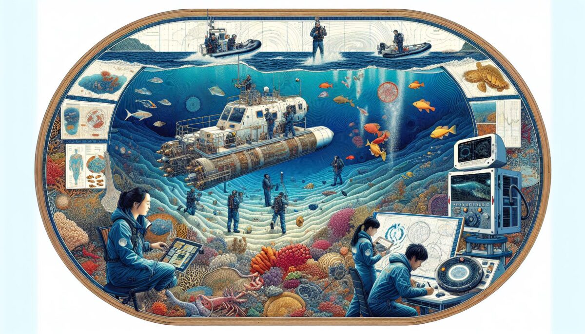
Bathymetry – a term with Greek origins amalgamating the words bathus meaning “deep,” and metron signifying “measure.” With its roots steeped in the depths of the past, bathymetry holds the essence of the comprehensive study and mapping of the floor of the ocean. It is the underwater equivalent of hypsometry, relating to the measure of the altitude of a point above a particular level.
Bathymetry: An Introduction
In the vast seascape, bathymetry plays a foundational role. It investigates and records the depth of ocean bodies to comprehend the terrain lying below the vast expanse of sea water, and provide detailed charts of the shape and features of the seafloor. This efficacious understanding of the seafloor is indispensable for multiple sectors – maritime navigation, fisheries management, offshore explorations, marine constructions, environmental studies, marine archaeology, climate change studies, amongst many. With its widespread applications, bathymetric surveys and charts are fundamental tools, essential to unravel the mysteries of the silent and stunning underwater world[^1^].
The History and Evolution of Bathymetry
The concept of bathymetry can be traced back to as early as 85 B.C. where Posidonius of Rhodes, an ancient geographer, utilized a rudimentary method to measure the depths of the seas. However, the birth of modern bathymetry was witnessed during the Challenger expedition that commenced in 1872, which marked a turning point as the robust process of deep-sea soundings flourished. The advent of sonar technology followed suit in the 20th century, revamping the methods of ocean floor mapping. Today, we utilize state-of-the-art technology: Multi-beam and Side-scan sonar, LIDAR, Satellite Derived Bathymetry (SDB), Sub-bottom profiling, etc., to streamline the bathymetric process[^2^].
The Technology and Techniques behind Bathymetry
We’ll now try to outline briefly a few of the groundbreaking technologies expanding the frontiers of bathymetric surveys today.
1. Multi-beam Sonar: As the name suggests, the system emits several beams of sound waves simultaneously, allowing a swifter, broader, and detailed area coverage. It is exceptionally apt for obtaining high-resolution bathymetric data, accurately mapping abrupt changes in the sea floor steepness, and for spatially compact underwater areas.
2. Side-scan Sonar: This system works by emitting fan-shaped pulses of sound waves to the seafloor perpendicular to the direction of the vessel, thereby forming an image of the sea bed. The side-scan sonar provides comprehensive data about the seafloor’s composition and is particularly efficient for identifying shipwrecks, underwater ruins, and constructions.
3. Satellite Derived Bathymetry (SDB): Capitalizing on the advancement of satellite technology, SDB extracts bathymetric information through analyzing the satellite imagery of bodies of water. This technique is especially beneficial for remote and vast undersea regions that are difficult to physically access for surveying.
4. LIDAR Bathymetry: An acronym for Light Detection and Ranging, LIDAR employs pulsed lasers to measure distances. In bathymetry, an Airborne LIDAR Bathymetry (ALB) system is commonly used where a laser device fitted in an airborne vehicle measures the time taken by the laser pulses to be reflected back from the sea surface and seafloor, thereby providing bathymetric data[^3^].
The Future of Bathymetry
Today, mapping the sea floor has become intrinsic to oceanography –comprehending the Earth’s climate history, predicting future changes, marine biodiversity assessments, oil and gas explorations, and safeguarding the interests of maritime trade. It’s clear that the field of bathymetry has now transitioned beyond just a science – it has become an art form symbolizing the perpetual human quest for knowledge, constantly pushing the boundaries to explore the unseen and the unknown.
National Oceanic and Atmospheric Association (NOAA) is in the fashion of creating a comprehensive high-resolution bathymetric map to visualize the world’s oceans and standardize ocean data. Collaborating with Scripps Institution of Oceanography, NOAA’s ambitious endeavour, Seabed 2030, aims to compile all the bathymetric data into a coherent global map, aiding in responsible ocean development and marine policymaking.
The marriage of bathymetry with artificial intelligence, machine learning, and Big Data Projections in the future is seemingly promising. This fusion will dramatically enhance data analysis capabilities, interpretation, and extrapolation of bathymetric data, leading to monumental breakthroughs in our understanding of the sea.
Conclusion
With its vast scope and ever-evolving technology, bathymetry is no less than an adventurous journey into the abyss, shedding light on the arduous and captivating marine life residing beneath the colossal expanse of water. It’s true – we know less about the seafloor than the far side of the Moon, but with the consistent strides in bathymetric advancements, we are slowly but steadily closing this gap, uniting humankind’s idea about the Earth with the actual world beneath the waves.
[^1^]: National Oceanic and Atmospheric Association. “What is Bathymetry?” NOAA’s National Ocean Service, n.d. https://oceanservice.noaa.gov/facts/bathymetry.html.
[^2^]: Coastal and Marine Geology Science Center, “USGS.” USGS, n.d. https://marine.usgs.gov/fact-sheets/bathymetry/bathy-single.html.
[^3^]: The Nippon Foundation-GEBCO Seabed 2030 Project. “Seabed2030.” The General Bathymetric Chart of the Oceans, n.d. https://seabed2030.gebco.net/about/what_is_bathymetry.html.
